5 November 2025
Slow train to a lot of shrines
Mount Kotsu from Awa-Yamakawa station
Today's hike is known by many different names. Generally in English, Mount Kotsu, the shrine on the top is called Kotsu Temple, which apparently is a Buddhist Shrine, but has a lot of Torii gates. Hmmm.
On Japanese websites it is called Takakoshiyama, but also Takatsuyama, maybe. I thought perhaps given the large shrine complex on top that this was all part of the Shikoku 88 shrine pilgrimage trail, but my research tells me it is not, so instead, THE STATS -
17.88km - includes 4km on roads
5 hours 20 minutes - I messed about on the top for a while
1,142m vertical ascent
1,281 calories burned
29,500 steps
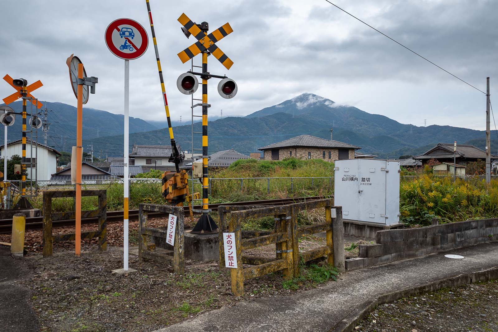
There is my mountain, with some cloud. My camera makes it look further away than it is. It is about 2km to the start of the trail. Today is an out and back hike, so 4km on roads total.
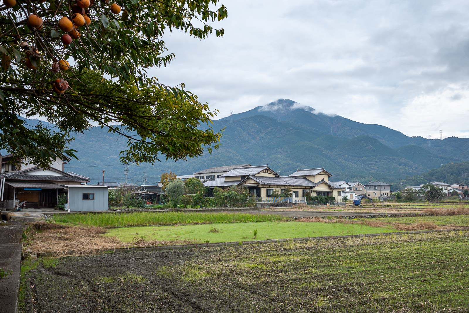
Another view of the mountain. I should mention there are actually 3 convenience stores near the station, very surprising as the town seems almost abandoned.
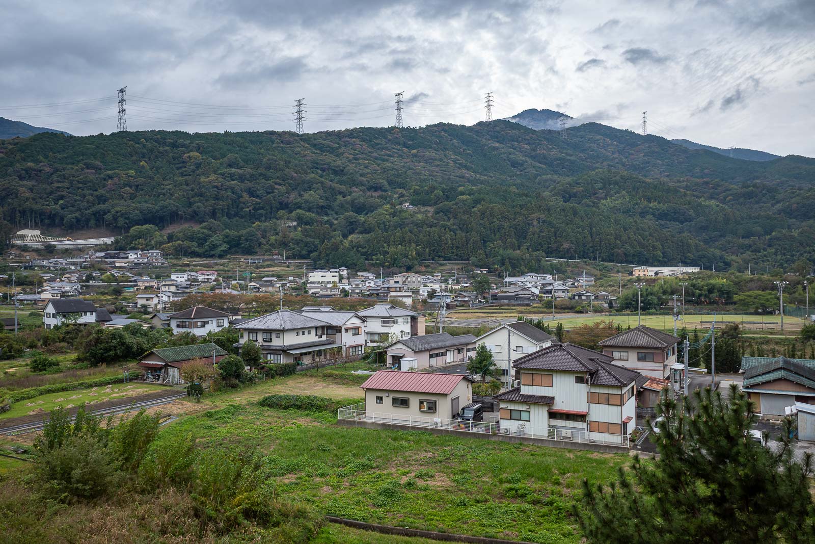
Here you can just see the mountain, in the distance past the ridge in the foreground with the giant electricity things on it.
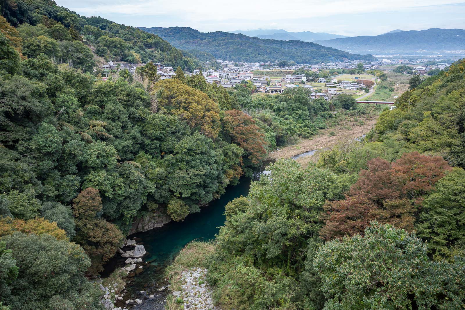
Looking back down the valley towards Awa-Yamakawa station.
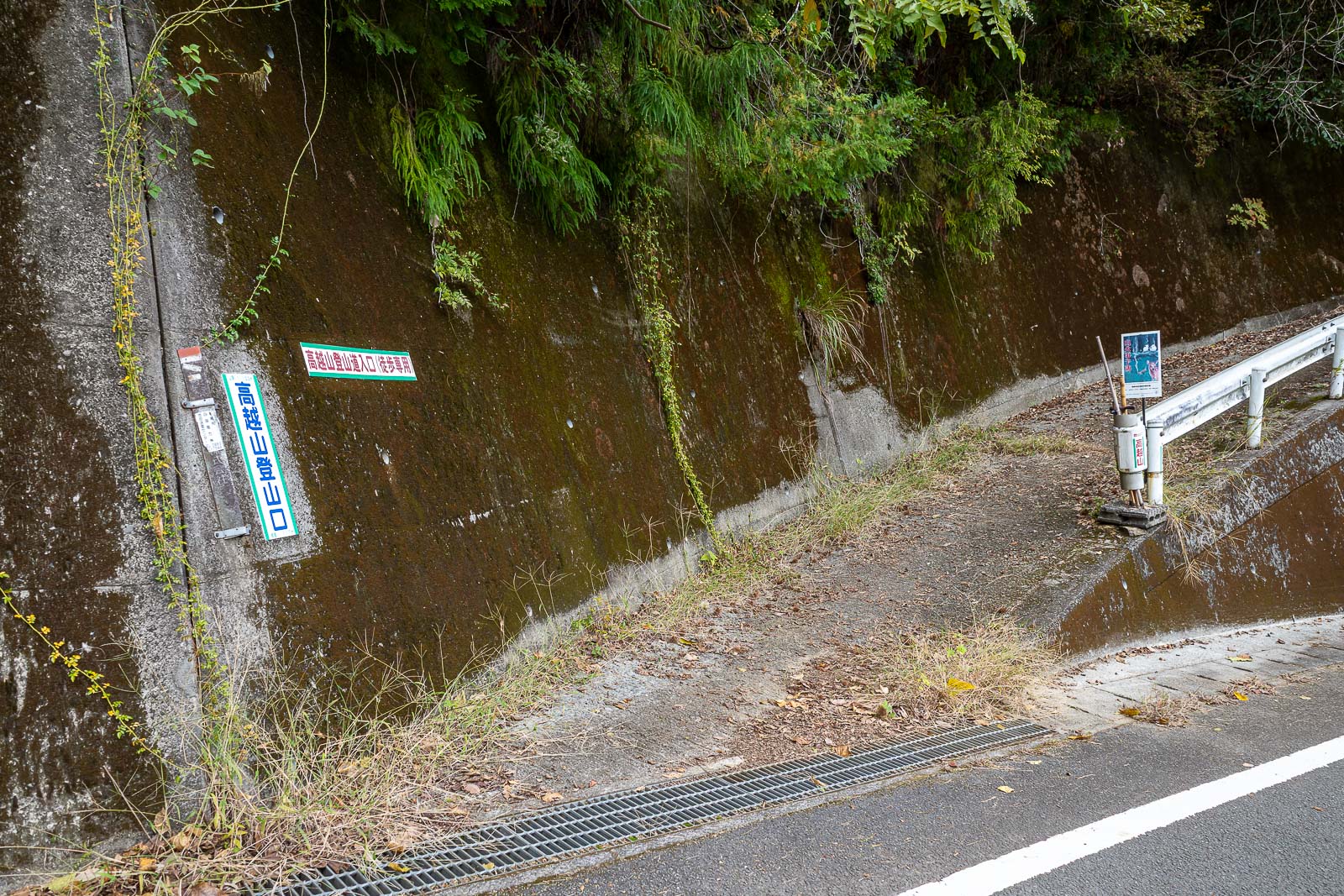
Convenient signage to tell you where to start the hike. You can find this on google street view easily enough (I did).
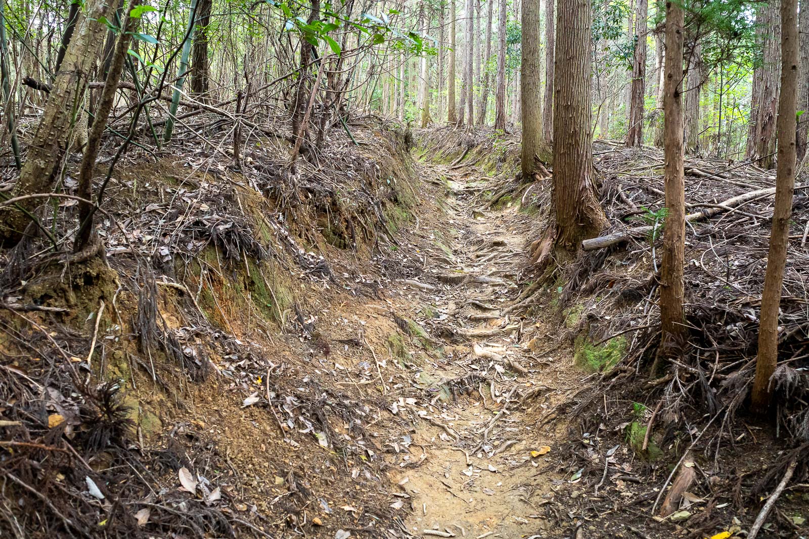
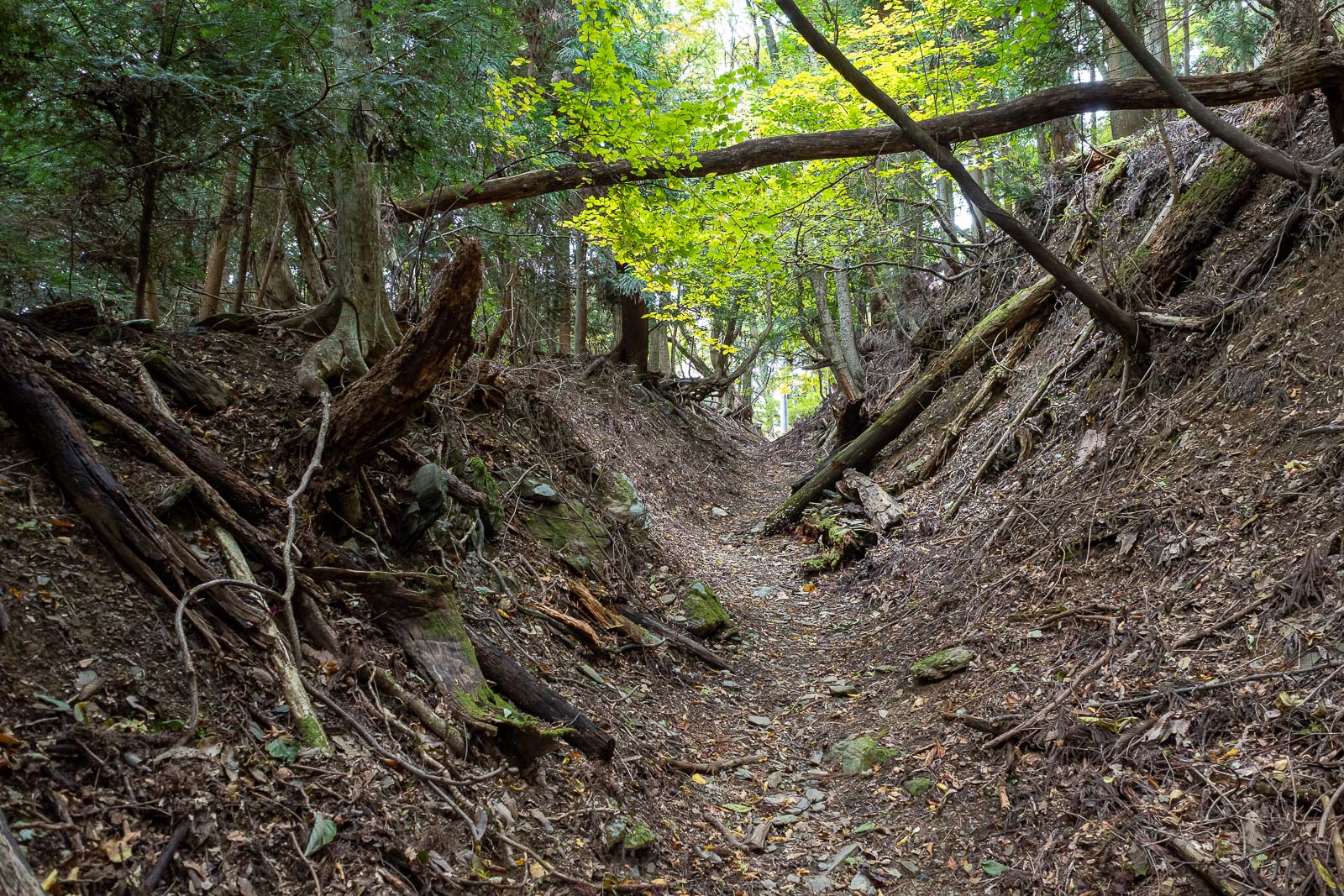
It is a real trail from the get go, but does cross a couple of gravel logging roads or shrine access roads. There is another road up to the top shrine that loops around the back, but I heard and saw no cars all day.
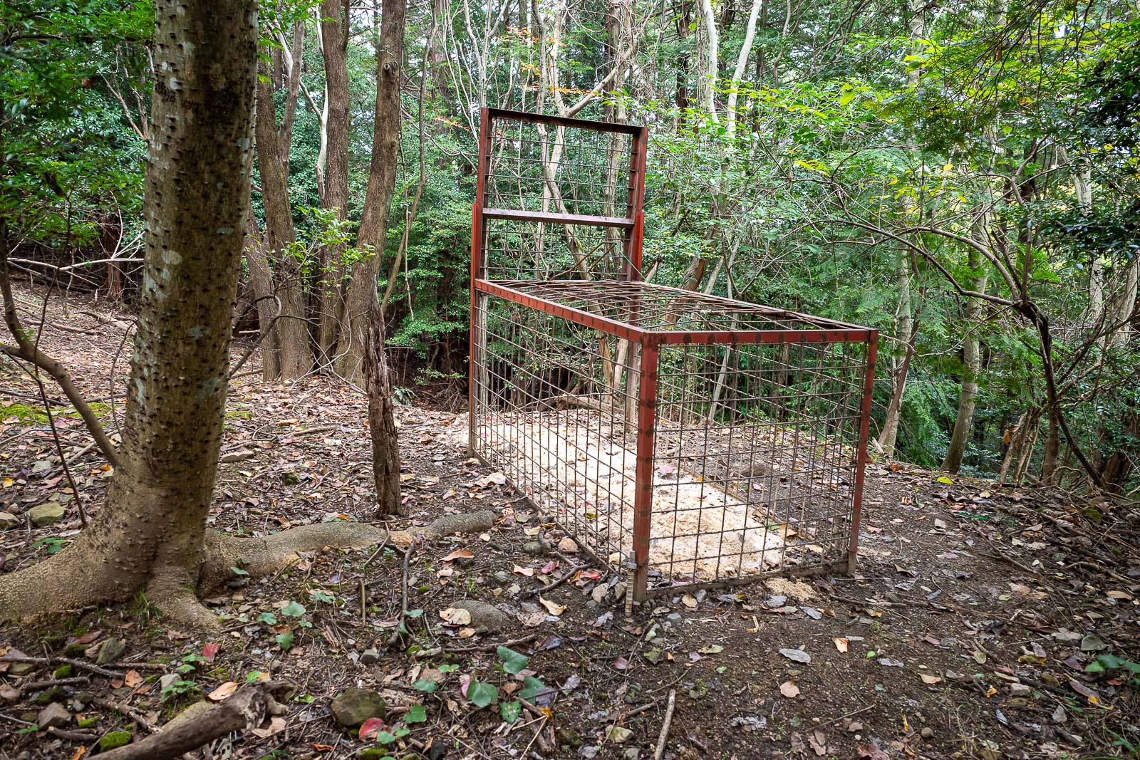
Bear trap! Actually these are for pigs.
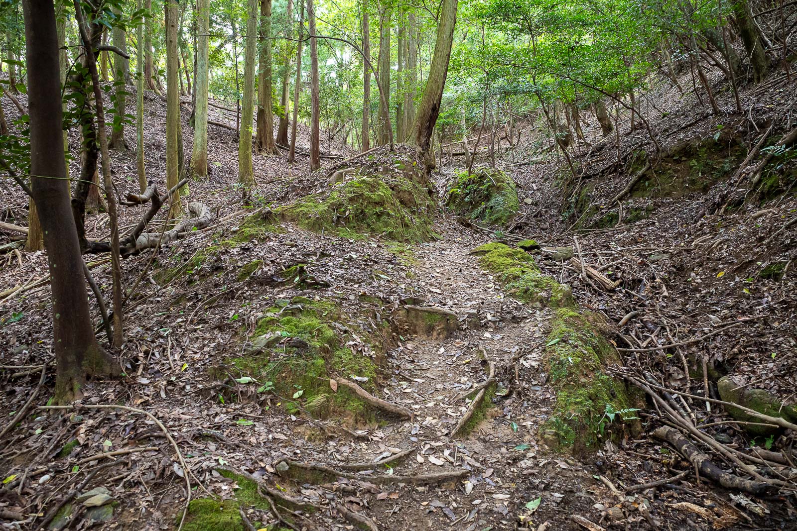
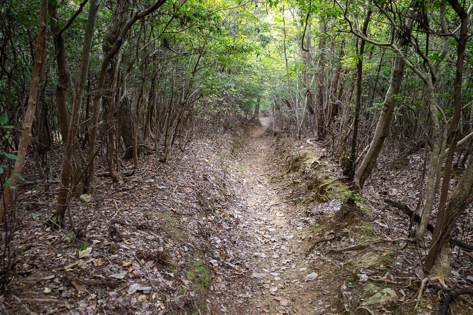
The trail is well maintained, and must get a lot of foot traffic, however today I saw only one other person all day. There were no cobwebs though, so someones been up or down today.
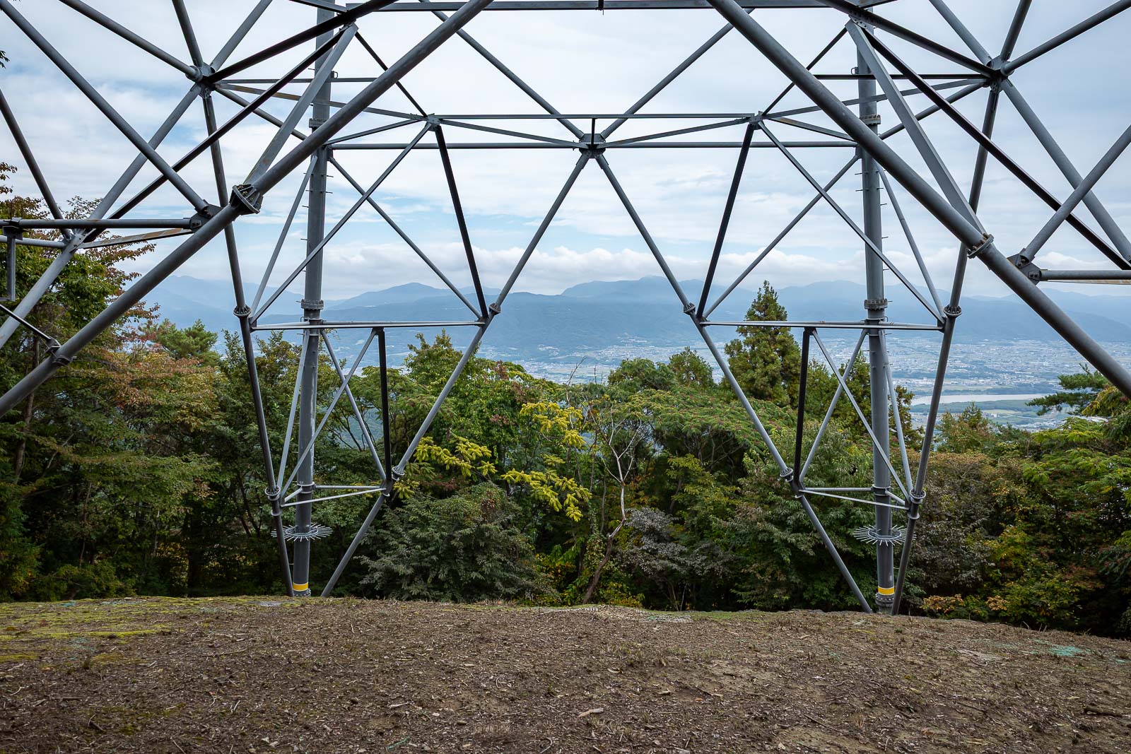
You saw these giant power poles in an earlier pic. Now I am standing under one. Not a lot of spots for a clear view today.
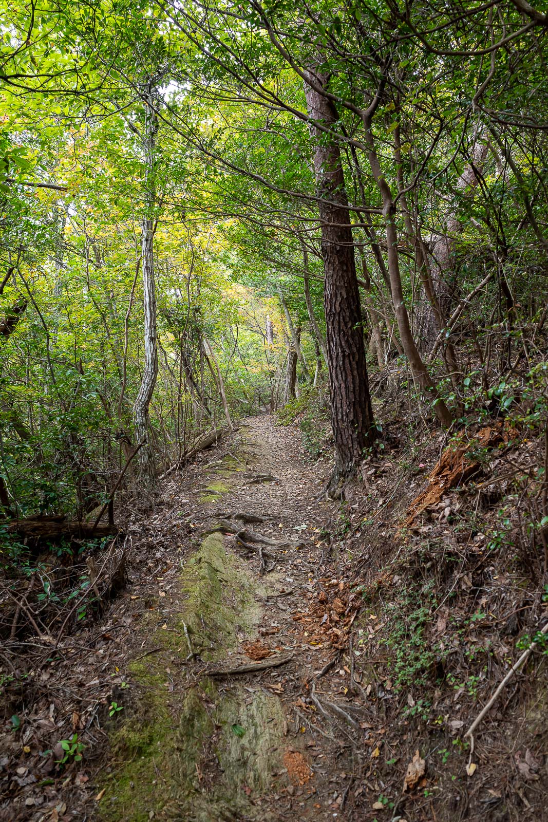
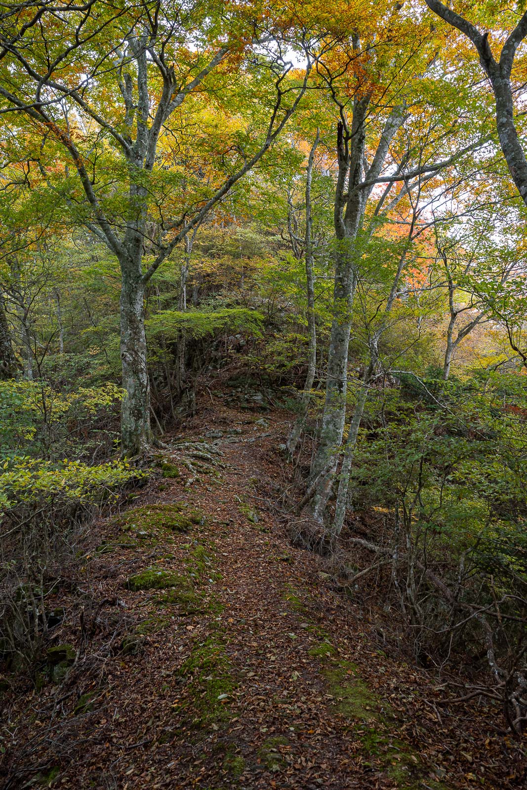
The trail was great.
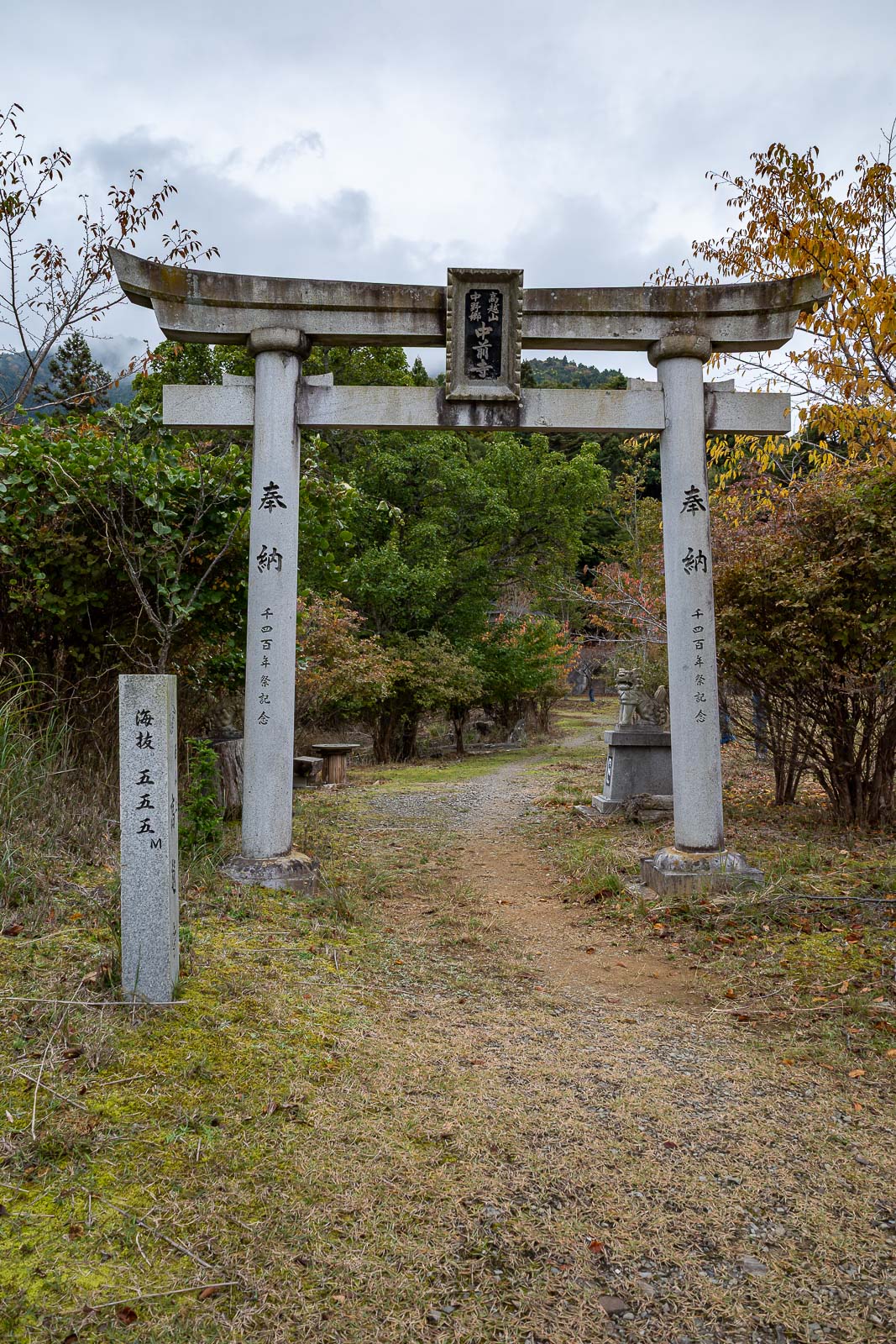
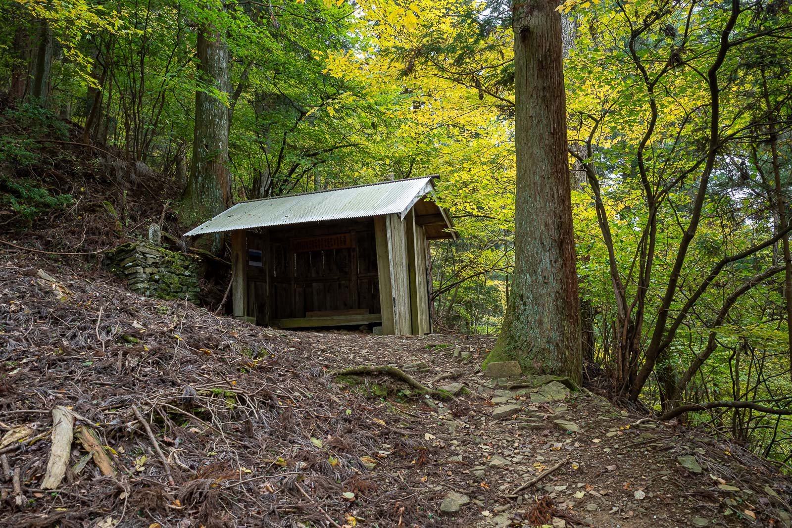
A shrine at the mid point. Or a temple.
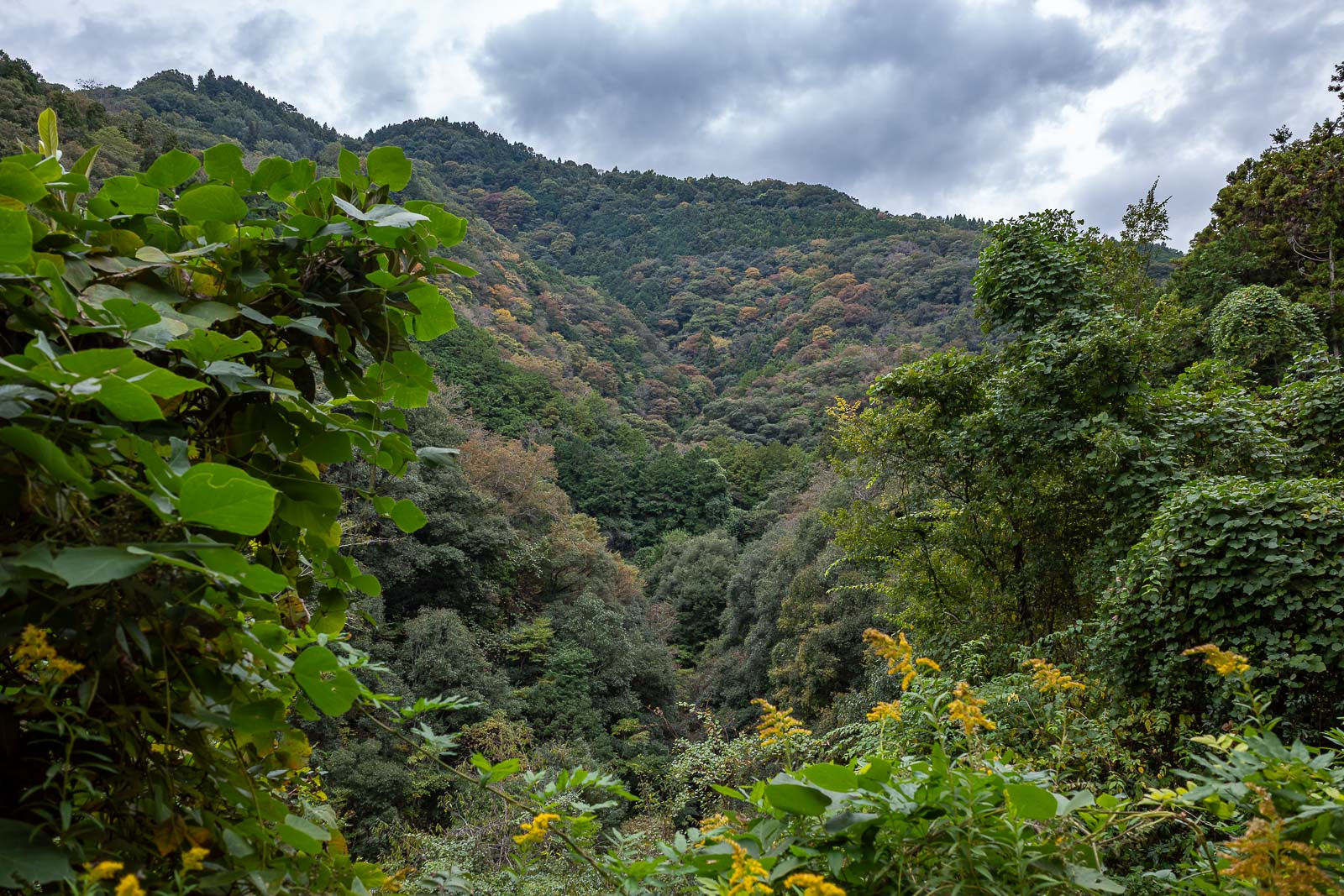
It was very grey today, but there were some nice trees around.
Getting nearer the top, here is a spot to take a rest.
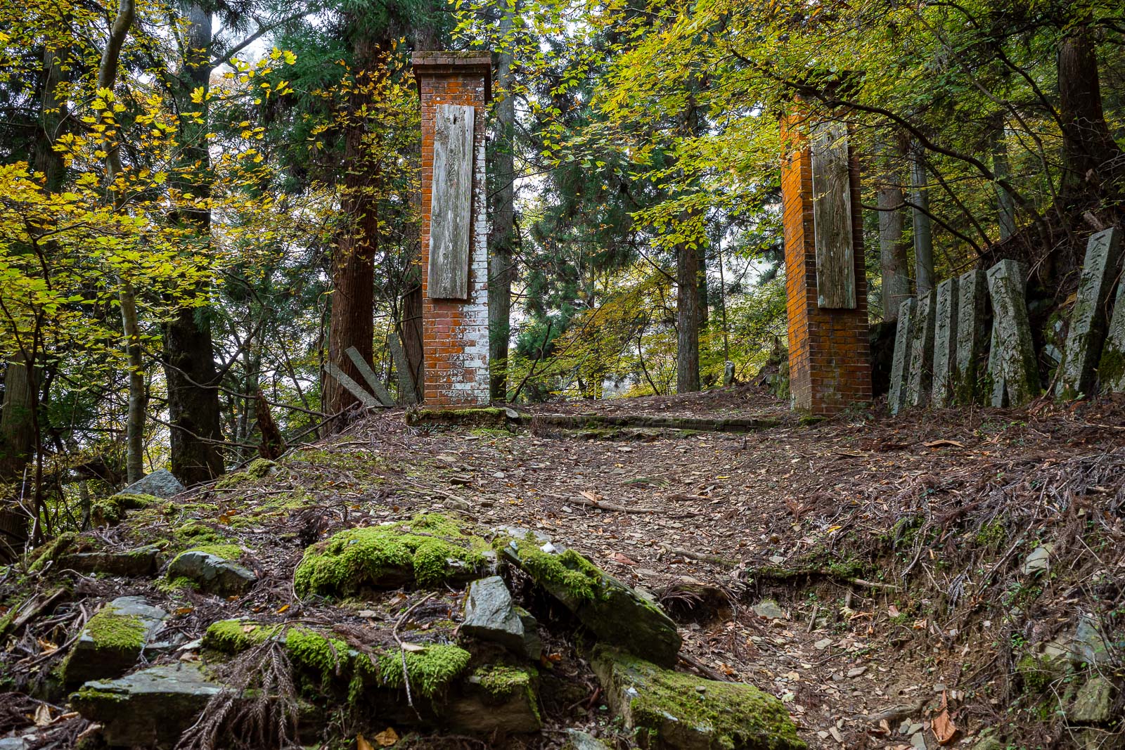
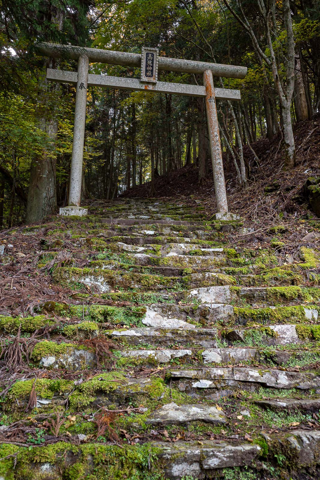
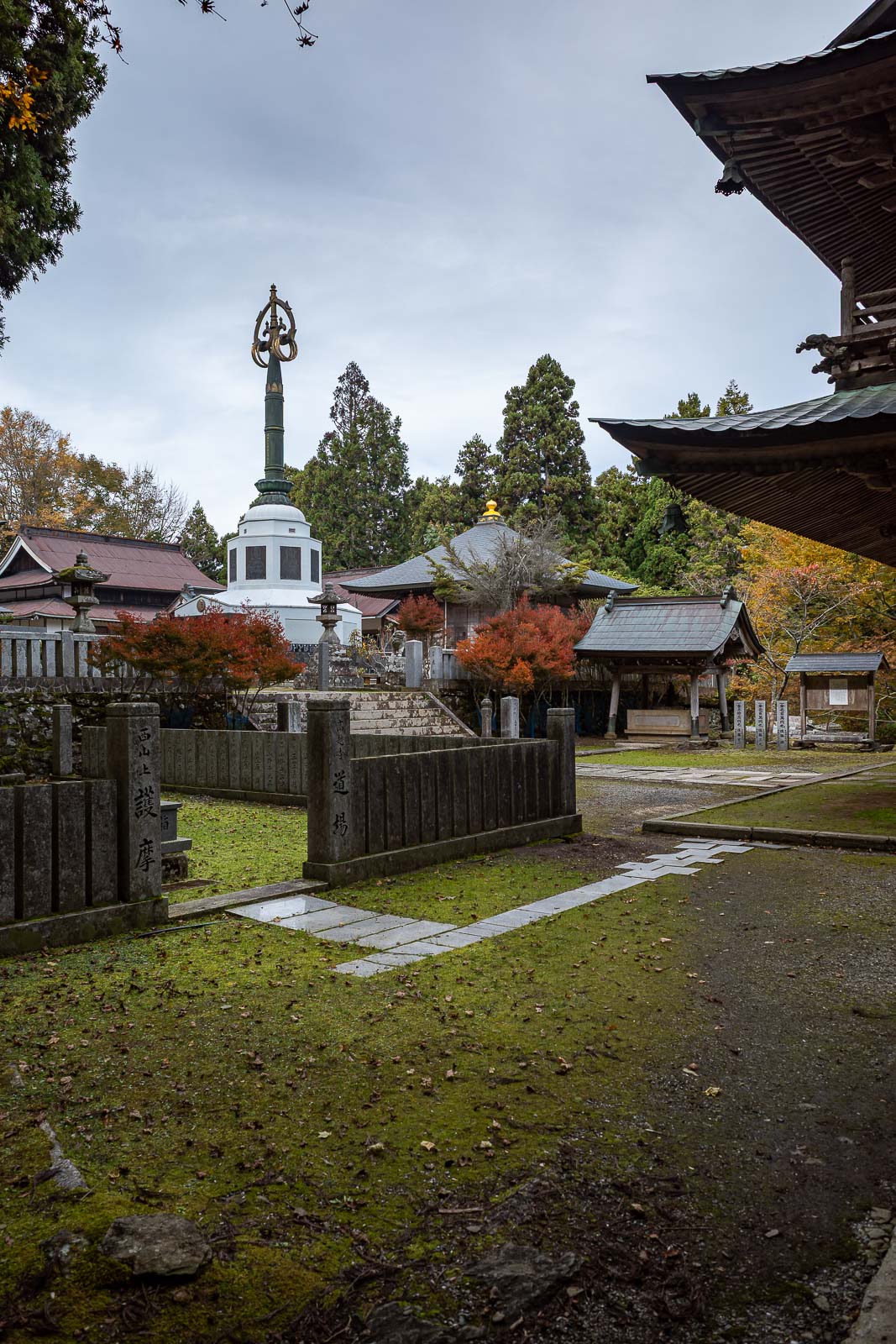
Approaching the top shrine. There were a lot of gates and stone tablets around.
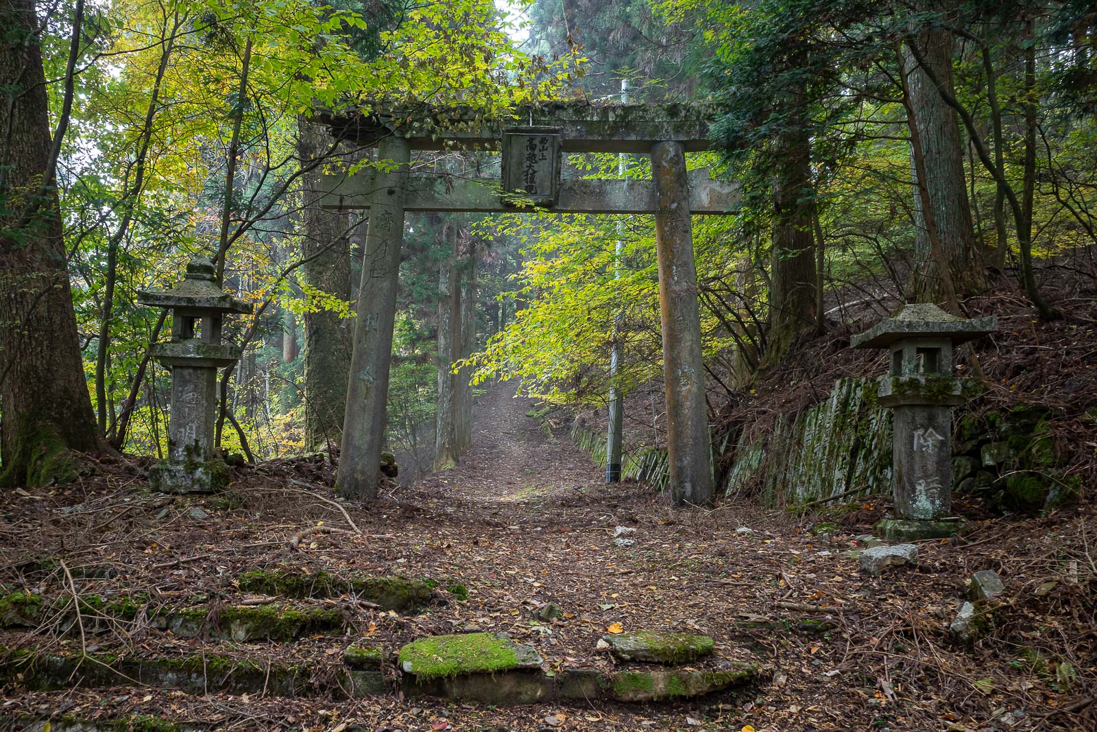
Torii gate and a bit of fog. I wished there was more fog.
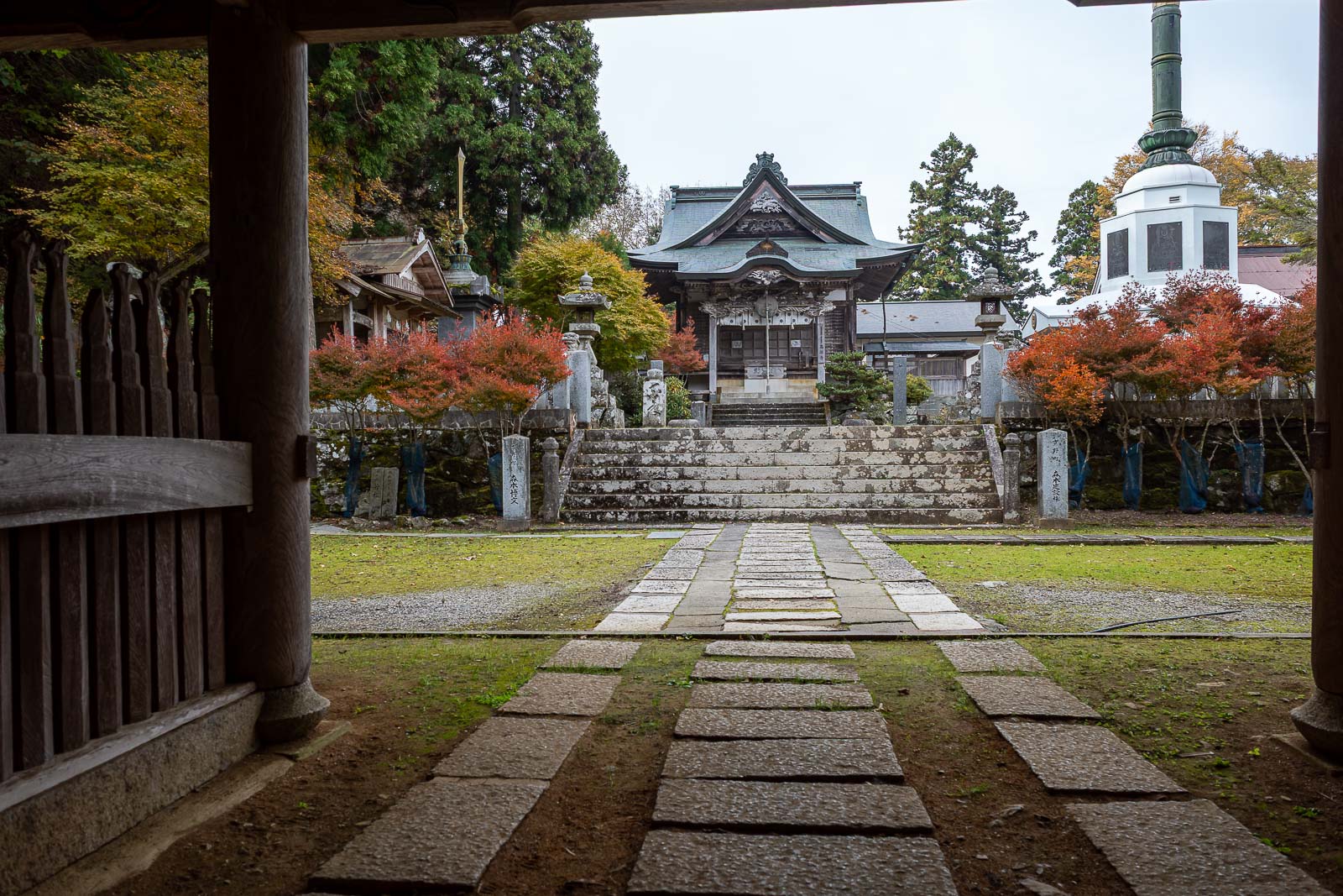
Top shrine. No one else here. There is a real road nearby with a car park (according to the map), but I saw nobody.
More torii gates at this Buddhist temple.
Lightning conductor.
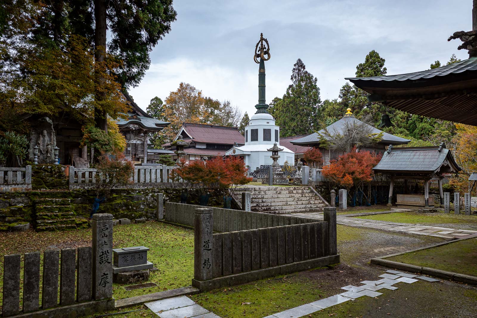
It was a large complex with many attractions, but it was time for me to move on, the real summit is still to come, but not too far.
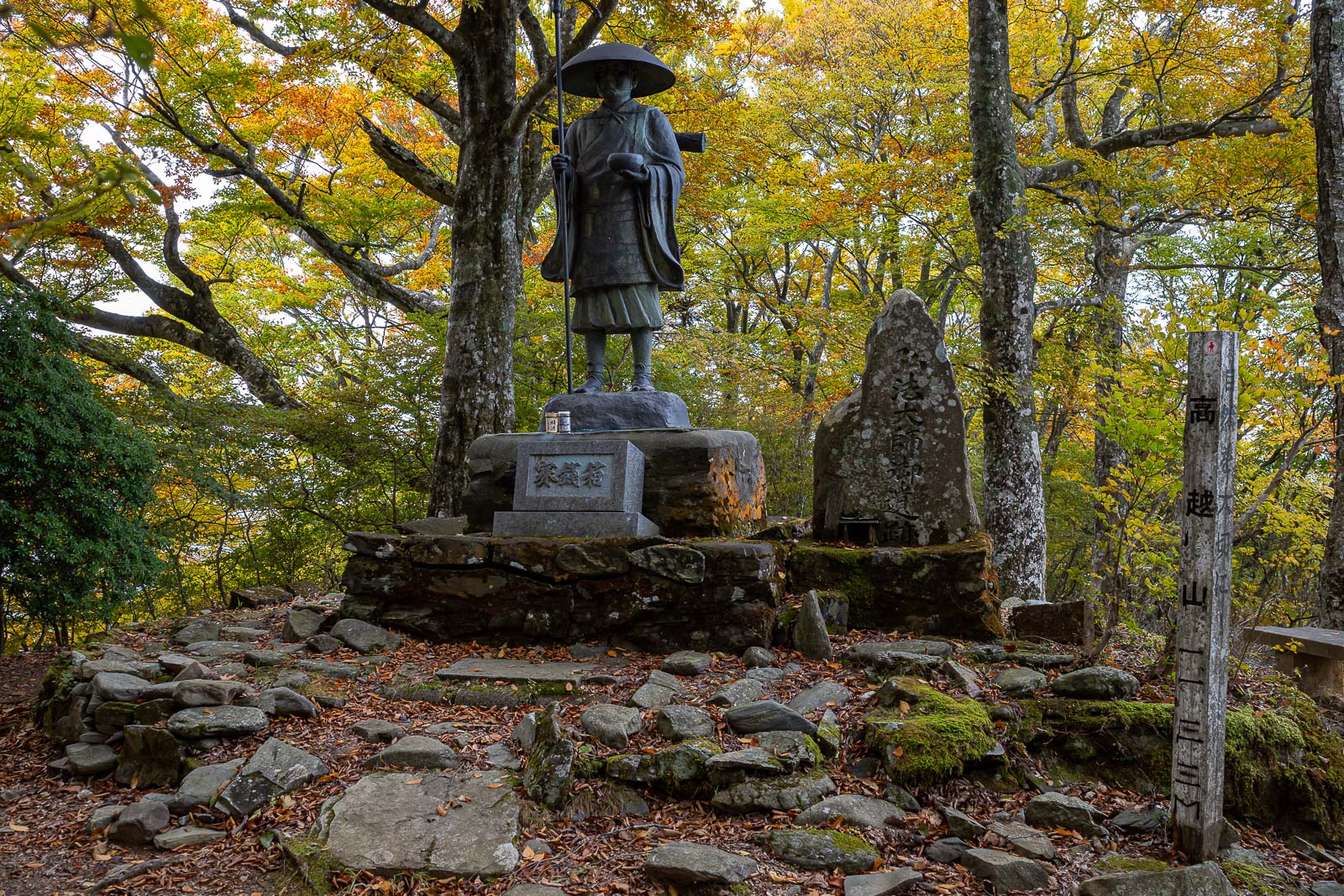
I think this is the highest point. Nice.
Still no view spot down to the valley though.
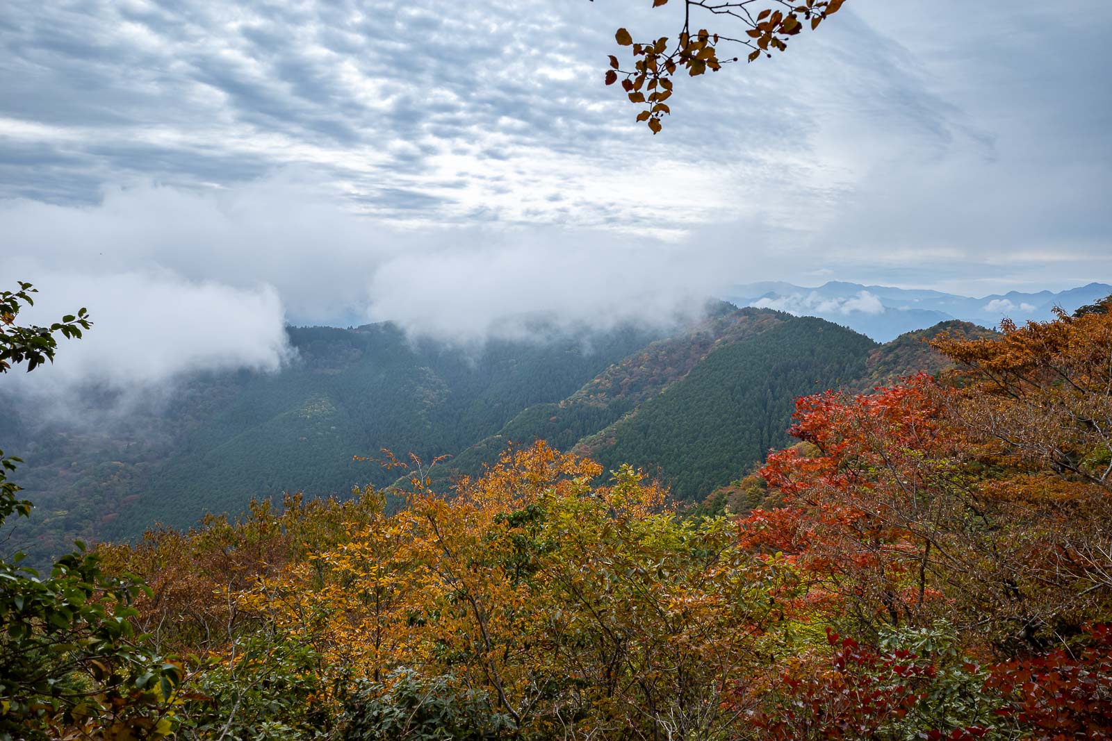
There is however a view over the back to Mount Tsurugi (except its hidden by fog), which is the most popular mountain on Shikoku. It is strangely very hard to get to Tsurugi with public transport, despite it having a cable car. So I will not be going.
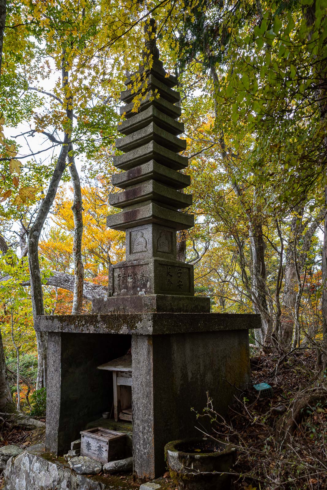
More shrine or temple related items littering the mountain.
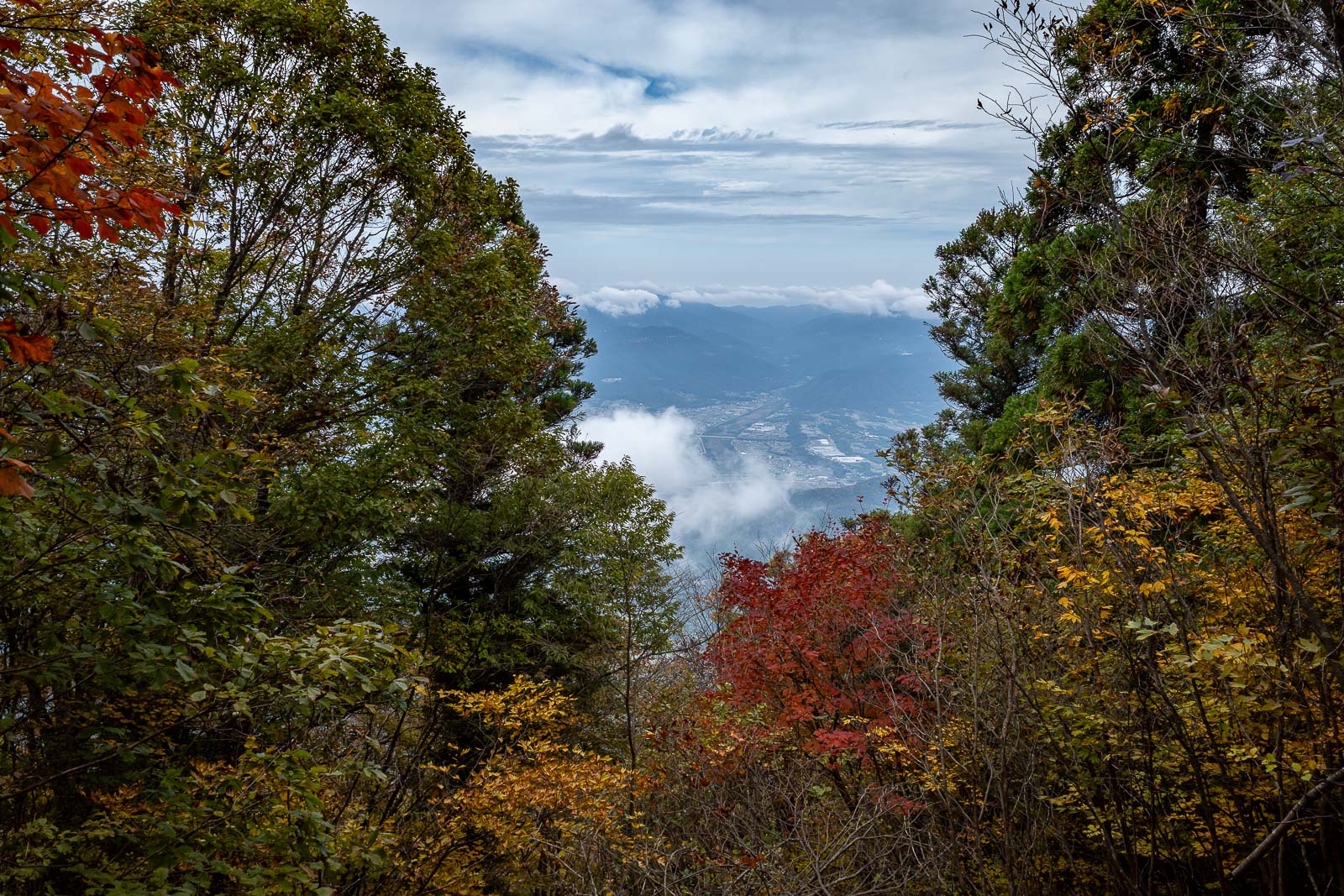
Probably the most colourful view of the day, although it was very grey skies the whole time (but no rain).
Time for my descent, the same way I came up.
Back at the bottom. There are other hikes nearby.
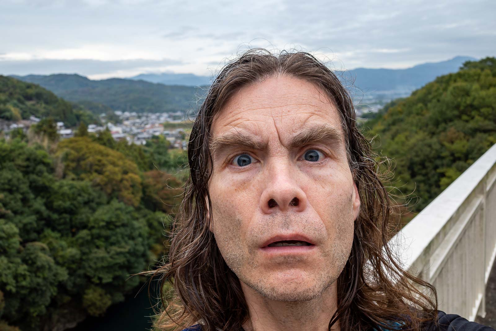
Nice one! I enjoy looking at the lines on my face.
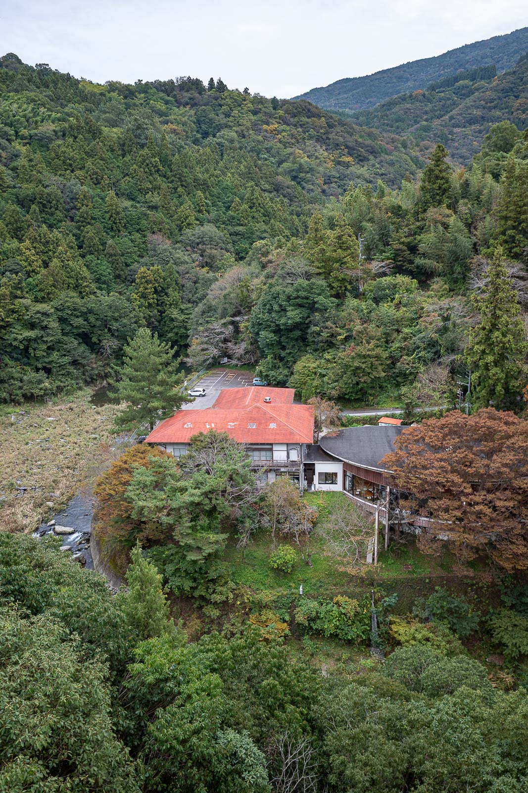
Down there is an onsen (hot spring) joint.
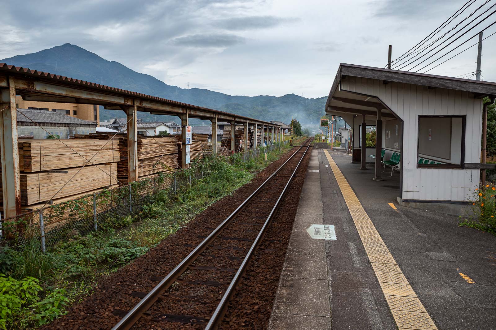
And finally, back at the station. Nice light in this shot. I had to wait a while for the train, so went to one of the 3 convenience stores and had an omelette sandwich. As for the train itself, very slow. Single track train line so you spend a lot of time waiting at stations where there are 2 tracks for the train coming the other way to arrive and pass. Also, cash only, but I did buy a return ticket at Tokushima which made it mildly less irritating. OK rant over.